
See the whole
picture.
Lot lines, water frontage, rooftops, and setting, the things a ground-level photo can't tell. Our FAA Part 107 certified pilots capture it all, legally, safely, and beautifully.
Book your shoot →Context sells, especially here.
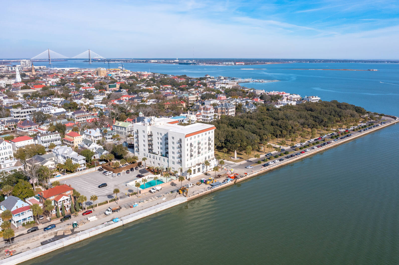
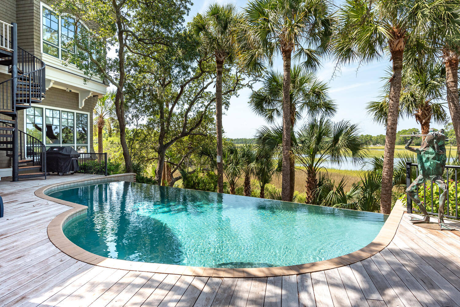
In the Lowcountry and Upstate, the land is half the story: the marsh views, the deep-water dock, the golf frontage, the proximity to the beach. Aerial photography shows buyers exactly what they're getting before they ever visit.
Every flight is performed by an FAA Part 107 certified, fully insured remote pilot, so your listing gets dramatic imagery without any of the legal risk of hobby drones.
Aerials that set the scene.
Drone stills and reveals from Kiawah, the islands, and beyond.
Every angle that matters.
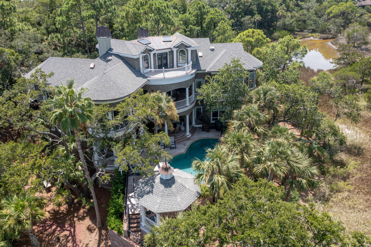
Exterior hero shots
High-angle exteriors that flatter the home and its grounds.
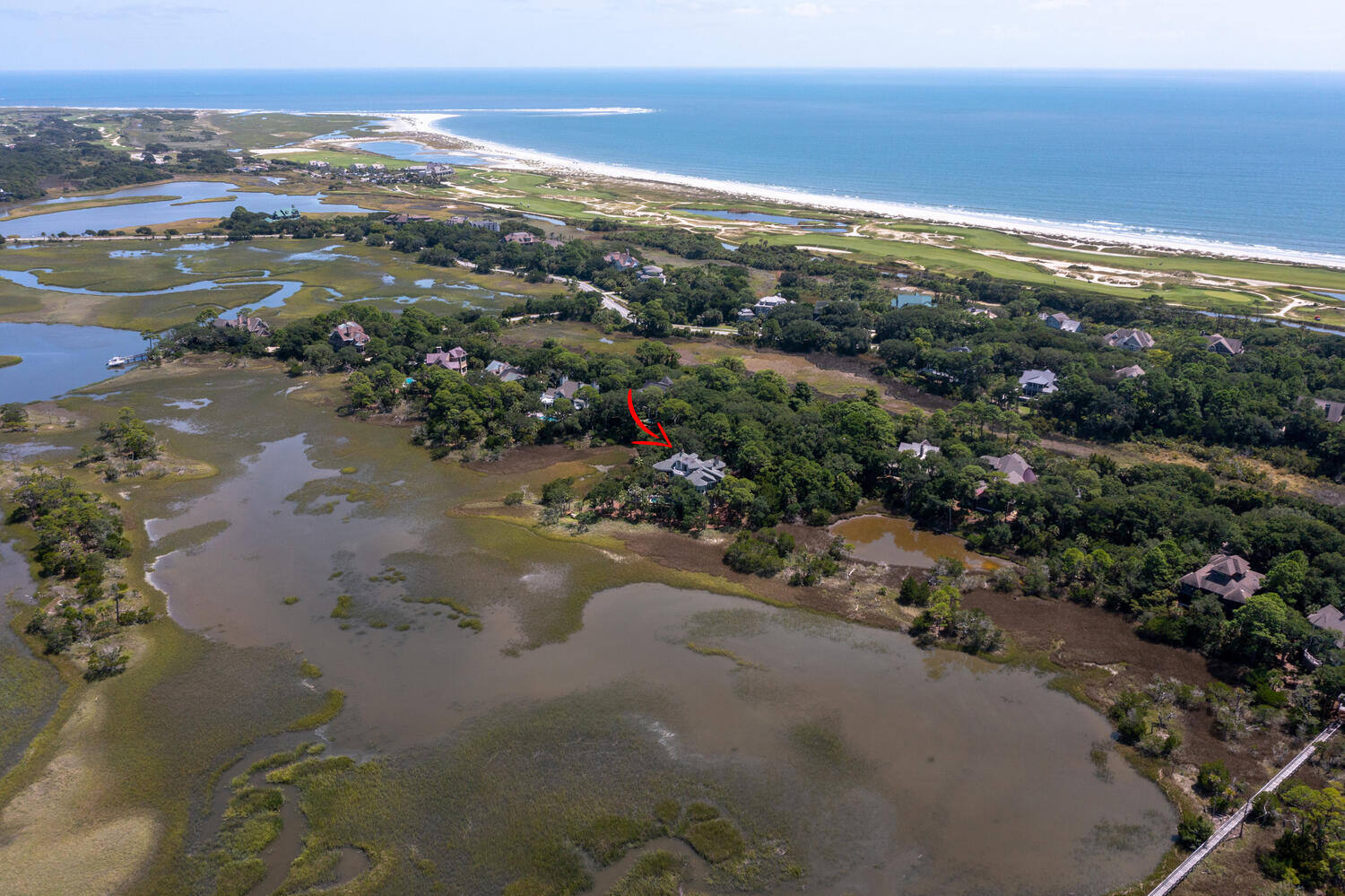
Lot-line & boundary
Show acreage, frontage, and where the property begins and ends.
Cinematic flyovers
Smooth reveals that open on the setting and push in on the home.
Waterfront & views
Marsh, river, ocean, and golf frontage shown in full.
Neighborhood & amenities
Proximity to beaches, docks, courses, and community features.
Twilight aerials
Dusk flyovers for a truly cinematic hero shot.
Give buyers
the bird's-eye view.
Book online in under two minutes, with fast turnaround and a Marketing Kit included.
Book an appointment →Drone & aerial photography in Charleston & Greenville
In the Lowcountry and Upstate, the land is half the story, marsh and water frontage, deep-water docks, golf and acreage, proximity to the beach. FAA Part 107 certified, fully insured drone photography and video shows buyers exactly what they're getting, legally and safely, with none of the risk of hobby drones.
We capture exterior hero shots, lot-line and boundary aerials, cinematic flyovers, and twilight aerials for residential, luxury, multifamily, and commercial properties across Charleston and Greenville.